About the street
Boulevard des Moulins is Monte-Carlo's long everyday street, some 700 metres from the Carré d'Or towards Larvotto. A string of its villas and buildings – at nos 14 to 27 and 39 bis, among them the Palais Albany and Le Radium – are on the State's 2015 list of remarkable buildings, and Marcel Pagnol lived at no. 12, the Villa La Lestra, from 1951. Today its ground floors hold cafés, bakeries, children's fashion and the Dior and Dolce & Gabbana boutiques.
Walk the street
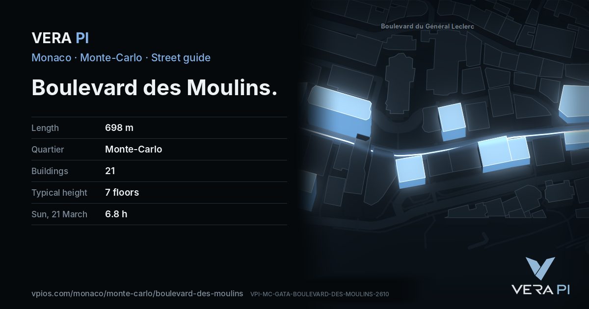
Every apartment building and landmark on Boulevard des Moulins, drawn at its height from OpenStreetMap. Walk it with the slider, switch sides, or tap a building for its card.
Skip the mapEverything along the street
Building by building
21 buildings with their own page on Boulevard des Moulins. Tap one to see it on the map.
Odd numbers 5
- 7Monte CarloSun on 21 March: 10.1 h on the sunniest façade (S)
- 15Le Régina9 floors · Sun on 21 March: 6.9 h on the sunniest façade (SE)
- 19Apartment building4 floors · Sun on 21 March: 6.8 h on the sunniest façade (ESE)
- 27HouseSun on 21 March: 10.3 h on the sunniest façade (SSE)
- 29House7 floors · Sun on 21 March: 8.7 h on the sunniest façade (SSW)
Even numbers 16
- 2a-4La Petite Afrique11 floors · Sun on 21 March: 9.8 h on the sunniest façade (S)
- ·Winter Palace8 floors · Sun on 21 March: 6.0 h on the sunniest façade (ESE)
- 6Le Montaigne8 floors · Sun on 21 March: 7.0 h on the sunniest façade (SE)
- ·House7 floors · Sun on 21 March: 8.2 h on the sunniest façade (SSW)
- 18Apartment buildingSun on 21 March: 6.6 h on the sunniest façade (ESE)
- 22HouseSun on 21 March: 7.0 h on the sunniest façade (ESE)
- 24Apartment buildingSun on 21 March: 7.0 h on the sunniest façade (ESE)
- ·Tender to Victor PalaceSun on 21 March: 7.3 h on the sunniest façade (SSW)
- ·Victor PalaceSun on 21 March: 8.4 h on the sunniest façade (SSW)
- ·Monte Carlo House7 floors · Sun on 21 March: 6.0 h on the sunniest façade (ESE)
- ·Palais des Fleurs6 floors · Sun on 21 March: 5.0 h on the sunniest façade (ESE)
- ·Apartment building3 floors · Sun on 21 March: 5.8 h on the sunniest façade (SSW)
- 38Ambassador8 floors · Sun on 21 March: 6.2 h on the sunniest façade (SSW)
- ·House7 floors · Sun on 21 March: 1.7 h on the sunniest façade (WNW)
- ·Le Casabella7 floors · Sun on 21 March: 3.9 h on the sunniest façade (ESE)
- ·Grand PalaisSun on 21 March: 7.3 h on the sunniest façade (SE)
Sun along the street
Hours of direct sun on each building’s sunniest façade, at its middle floor – the sea, the hills behind and the buildings around all counted.
| Building | 21 March | 21 June | 21 December | Façade |
|---|---|---|---|---|
| 2a-4 Boulevard des Moulins | 9.8 | 8.5 | 7.3 | S |
| 6 Boulevard des Moulins | 7.0 | 8.8 | 7.3 | SE |
| 7 Boulevard des Moulins | 10.1 | 8.5 | 6.3 | S |
| 15 Boulevard des Moulins | 6.9 | 8.4 | 7.1 | SE |
| 18 Boulevard des Moulins | 6.6 | 8.0 | 2.4 | ESE |
| 19 Boulevard des Moulins | 6.8 | 8.0 | 5.6 | ESE |
| 22 Boulevard des Moulins | 7.0 | 8.0 | 5.7 | ESE |
| 24 Boulevard des Moulins | 7.0 | 8.0 | 5.8 | ESE |
| 27 Boulevard des Moulins | 10.3 | 8.8 | 4.9 | SSE |
| 29 Boulevard des Moulins | 8.7 | 8.2 | 8.2 | SSW |
| 38 Boulevard des Moulins | 6.2 | 7.2 | 5.3 | SSW |
| House on Boulevard des Moulins | 8.2 | 8.7 | 5.1 | SSW |
| House on Boulevard des Moulins | 1.7 | 3.7 | 0.5 | WNW |
| Apartment building on Boulevard des Moulins | 5.8 | 5.7 | 3.0 | SSW |
| Boulevard des Moulins | 7.3 | 9.0 | 5.0 | SE |
| Boulevard des Moulins | 3.9 | 4.4 | 2.8 | ESE |
| Boulevard des Moulins | 6.0 | 6.8 | 5.6 | ESE |
| Boulevard des Moulins | 5.0 | 5.8 | 4.9 | ESE |
| Boulevard des Moulins | 7.3 | 8.2 | 7.2 | SSW |
| Boulevard des Moulins | 8.4 | 8.1 | 7.0 | SSW |
| Boulevard des Moulins | 6.0 | 7.5 | 4.0 | ESE |
VERA PI’s sun model: NOAA solar position, OpenStreetMap building heights and the Copernicus GLO-30 terrain (30 m). Clear sky; an estimate.
Notable buildings and places
 Saint-Charles ChurchSaint-Charles Church (French: Église Saint-Charles; Monégasque: Ge̍ija de San Carlu) is a Roman Catholic church dedicated to Saint Charles Borromeo, the 16th-ce…Aimelaime at French Wikipedia · Public domain
 St Paul’s Church of Monte-CarloAimelaime · CC BY-SA 4.0Bromar VillaCharles III
Getting around
- BusSaint-Charlesline 1, line 4, line N1
- BusSaint-Charlesline 1, line 4
- BusMonte-Carlo Tourismeline 1, line 2, line 4, line 5, line 6, line N2, line X2, line X3
- BusPlace Des Moulinsline 1, line 4
- BusPlace Des Moulinsline 1, line 4, line N1
- BusCremaillereline 2, line 4, line 5, line N2
Stops within 250 m of the street. Compagnie des Autobus de Monaco, timetable valid 5 October – 18 December 2026 (Licence Ouverte 2.0).
Schools nearby
- ·École Saint-CharlesSchool
- ·UDLVBCollege
Within 400 m; OpenStreetMap.
Sources
- Buildings, heights, streets and places: © OpenStreetMap contributors, ODbL 1.0.
- Sights: Wikidata (CC0) and Wikipedia (CC BY-SA 4.0); photographs from Wikimedia Commons under the licence shown on each.
- Buses: Compagnie des Autobus de Monaco GTFS, via transport.data.gouv.fr (Licence Ouverte 2.0).
- Sun: VERA PI’s model with the Copernicus GLO-30 terrain (© DLR e.V. 2010-2014 and © Airbus Defence and Space GmbH 2014-2018, provided under COPERNICUS by the European Union and ESA).
- OpenStreetMap
- Wikipedia (en): Monaco villas
A VERA PI street guide – the same model as Strandvägen, Stockholm, fed with Monaco’s open data. Built 25 October 2026.