About the street
Boulevard du Larvotto runs some 3.3 kilometres above the shore, from the Fairmont hairpin to the Larvotto and the French border, the main road east; along it stand the Cardio-Thoracic Centre of 1987, apartment towers such as the Tour du Larvotto, and Robuchon Monaco's esplanade above the Japanese Garden.
Walk the street
Every apartment building and landmark on Boulevard du Larvotto, drawn at its height from OpenStreetMap. Walk it with the slider, switch sides, or tap a building for its card.
Skip the mapEverything along the street
Building by building
16 buildings with their own page on Boulevard du Larvotto. Tap one to see it on the map.
Odd numbers 2
Even numbers 14
- ·Apartment building2 floors · Sun on 21 March: 2.7 h on the sunniest façade (SW)
- ·Les Jacarandas - Bât. 411 floors · Sun on 21 March: 7.8 h on the sunniest façade (SE)
- ·Les Jacarandas - Bât. 511 floors · Sun on 21 March: 7.5 h on the sunniest façade (ESE)
- ·Apartment building4 floors · Sun on 21 March: 3.2 h on the sunniest façade (SW)
- ·Hotel
- ·Centre Cardio Thoracique de Monaco
- ·House2 floors · Sun on 21 March: 8.0 h on the sunniest façade (SE)
- ·Apartment building3 floors · Sun on 21 March: 7.3 h on the sunniest façade (SE)
- ·Le San Juan5 floors · Sun on 21 March: 5.4 h on the sunniest façade (SE)
- ·Tour du LarvottoSun on 21 March: 8.2 h on the sunniest façade (SSE)
- ·FloridianSun on 21 March: 8.5 h on the sunniest façade (SE)
- ·Saint John's CourtSun on 21 March: 8.7 h on the sunniest façade (SE)
- ·Le VallespirSun on 21 March: 8.8 h on the sunniest façade (SE)
- ·Le Testimonio6 floors · Sun on 21 March: 7.1 h on the sunniest façade (SSE)
Sun along the street
Hours of direct sun on each building’s sunniest façade, at its middle floor – the sea, the hills behind and the buildings around all counted.
| Building | 21 March | 21 June | 21 December | Façade |
|---|---|---|---|---|
| 17 Boulevard du Larvotto | 6.5 | 5.5 | 5.3 | SE |
| 39 Boulevard du Larvotto | 7.7 | 8.6 | 4.2 | SSE |
| Apartment building on Boulevard du Larvotto | 2.7 | 3.2 | 0.2 | SW |
| Apartment building on Boulevard du Larvotto | 3.2 | 3.3 | 1.8 | SW |
| Apartment building on Boulevard du Larvotto | 7.3 | 6.9 | 5.9 | SE |
| House on Boulevard du Larvotto | 8.0 | 7.4 | 6.7 | SE |
| Boulevard du Larvotto | 8.5 | 8.5 | 3.7 | SE |
| Boulevard du Larvotto | 5.4 | 6.8 | 4.6 | SE |
| Boulevard du Larvotto | 7.1 | 9.2 | 7.9 | SSE |
| Boulevard du Larvotto | 8.8 | 8.7 | 6.4 | SE |
| Boulevard du Larvotto | 7.8 | 7.8 | 6.7 | SE |
| Boulevard du Larvotto | 7.5 | 7.7 | 6.0 | ESE |
| Boulevard du Larvotto | 8.7 | 8.3 | 5.1 | SE |
| Boulevard du Larvotto | 8.2 | 9.0 | 2.0 | SSE |
VERA PI’s sun model: NOAA solar position, OpenStreetMap building heights and the Copernicus GLO-30 terrain (30 m). Clear sky; an estimate.
Notable buildings and places
 Sainte-Dévote ChapelThe Chapel of Sainte—Dévote (French: Chapelle Sainte Dévote; Ligurian: Geija de Santa Devotâ) is a Roman Catholic chapel dedicated to Saint Devota, the patron s…Alexander Migl · CC BY-SA 4.0
 Synagogue Edmond SafraThe Synagogue Edmond Safra is an Orthodox Jewish congregation and synagogue, located at 15 avenue de la Costa, in Monte Carlo, in Monaco. The synagogue is run b…René Dinkel · CC BY-SA 4.0
 Théâtre Princesse GraceThe Théâtre Princesse Grace is a theatre in Monaco.Benoît Prieur · CC0
 Yacht Club de MonacoThe Yacht Club de Monaco (YCM) is a yacht club in Monaco. Founded in 1953 by Rainier III, Prince of Monaco, it is closely associated with the Fédération Monégas…Banderas · Public domain
 St Paul’s Church of Monte-CarloAimelaime · CC BY-SA 4.0Chapelle Sainte Thérèse - Les CarmesMusée National de MonacoF1 McLarenF1 McLaren is a bronze sculpture in Monaco, located at Portier Roundabout, within the district of Monte-Carlo. It commemorates the victory of the McLaren race t…Hôtel Hermitage Monte-CarloHotel · Hotel on Boulevard du LarvottoCentre Cardio Thoracique de MonacoHospital · Boulevard du Larvotto
Getting around
- BusOstendeline 1, line 2, line 6, line N1, line N2
- BusLarvottoline 5, line 6, line X3
- BusSea Clubline 5, line 6
- BusAuditorium Rainier Iiiline 1, line 6, line N1
- BusSea Clubline 5, line 6, line N1, line X3
- BusSportingline 5, line 6, line N1
Stops within 250 m of the street. Compagnie des Autobus de Monaco, timetable valid 5 October – 18 December 2026 (Licence Ouverte 2.0).
Schools nearby
- ·École Saint-CharlesSchool
- ·École de la CondamineSchool
- ·École des CarmesSchool
- ·UDLVBCollege
- ·International University of MonacoUniversity
- ·Académie de Danse Princesse GraceSchool
- ·Lycée Technique et HôtelierSchool
Within 400 m; OpenStreetMap.
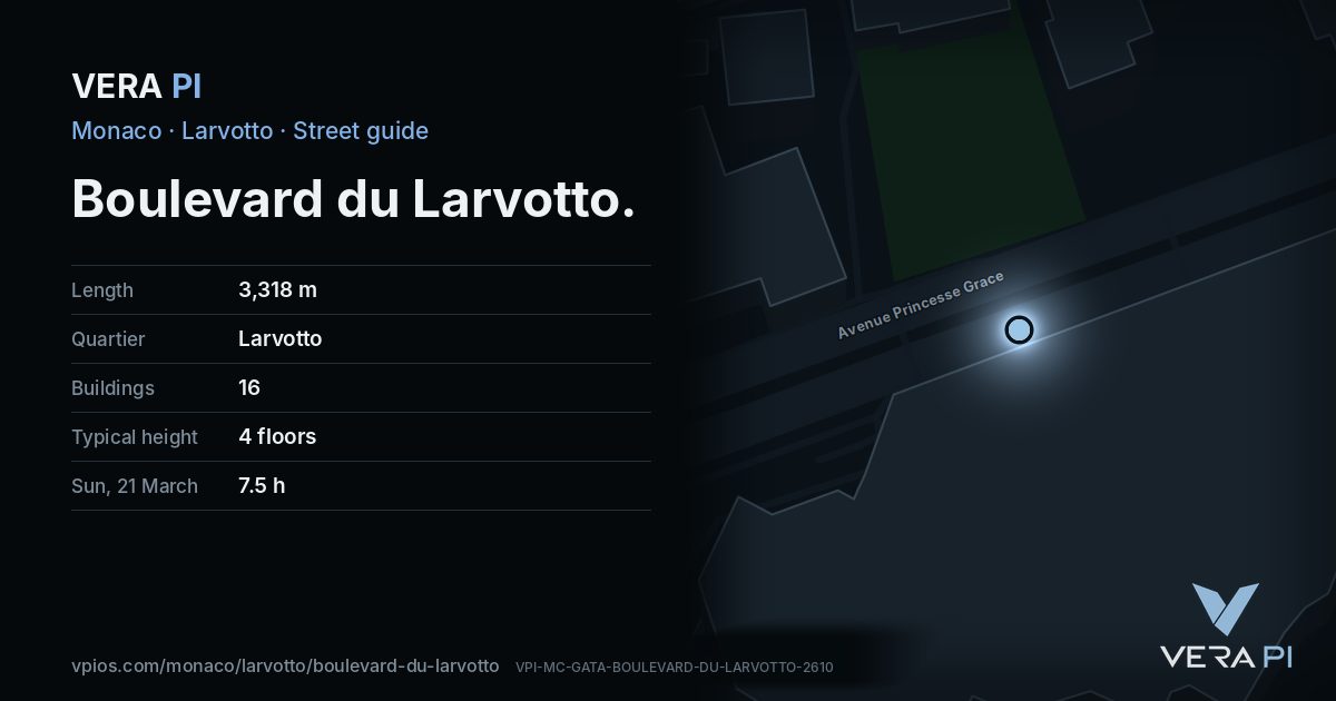
Streets that meet it
Avenue d'Ostende Avenue Princesse Grace Rue du Portier Escalier de la Costa Avenue de la Costa Tunnel Aureglia Avenue de Grande-Bretagne Rond-Point du Portier Bretelle Ostende Galerie Sainte-Dévote Galerie du parking de la Costa Sortie Parking de la Costa Escalier Sainte-Dévote Circuit de Monaco
Sources
- Buildings, heights, streets and places: © OpenStreetMap contributors, ODbL 1.0.
- Sights: Wikidata (CC0) and Wikipedia (CC BY-SA 4.0); photographs from Wikimedia Commons under the licence shown on each.
- Buses: Compagnie des Autobus de Monaco GTFS, via transport.data.gouv.fr (Licence Ouverte 2.0).
- Sun: VERA PI’s model with the Copernicus GLO-30 terrain (© DLR e.V. 2010-2014 and © Airbus Defence and Space GmbH 2014-2018, provided under COPERNICUS by the European Union and ESA).
- OpenStreetMap
- The building pages' sources (Wikipedia, Wikidata)
- MICHELIN Guide 2026
A VERA PI street guide – the same model as Strandvägen, Stockholm, fed with Monaco’s open data. Built 25 October 2026.