About the street
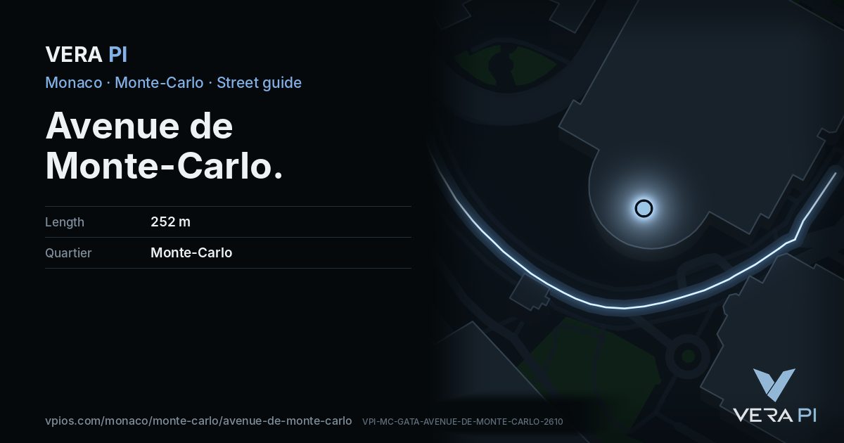
Avenue de Monte-Carlo is one of the principality's shortest and most expensive shop windows: about 250 metres from the Casino gardens down towards the sea, lined with Hermès, Gucci, Valentino, Goyard, Van Cleef & Arpels, Graff and Miu Miu. At its lower end, at no. 2, the Thermes Marins spa opens onto the harbour.
Walk the street
Every apartment building and landmark on Avenue de Monte-Carlo, drawn at its height from OpenStreetMap. Walk it with the slider, switch sides, or tap a building for its card.
Skip the mapEverything along the street
Notable buildings and places
 Opéra de Monte-CarloThe Opéra de Monte-Carlo (French pronunciation:) is an opera house which is part of the Monte Carlo Casino located in the Principality of Monaco.
With the lack …Gilbert Bochenek · CC BY-SA 3.0
 Monte Carlo CasinoThe Monte Carlo Casino, officially named Casino de Monte-Carlo, is a gambling and entertainment complex located in Monaco. It includes a casino, the Opéra de Mo…Fruitpunchline · CC BY-SA 4.0
 Théâtre Princesse GraceThe Théâtre Princesse Grace is a theatre in Monaco.Benoît Prieur · CC0Hôtel de Paris Monte-CarloMondial du ThéâtreThe Mondial du Théâtre, also titled the International Festival of Amateur Theatre and the World Festival of Amateur Theatre is the first festival of its kind, c…
 monument to Jules MassenetM.Strīķis · CC BY-SA 3.0
 Cinema Le SportingMister No · CC BY 3.0
 fountainM.Strīķis · CC BY-SA 3.0
Getting around
- BusTerrasses du Casinoline 1, line 2, line 6, line N2
- BusPlace du Casinoline 1, line 5, line 6
- BusAuditorium Rainier Iiiline 1, line 6, line N1
- BusSquare Beaumarchaisline 1, line 2, line 6, line N1, line N2
- BusPlace du Casinoline 5, line 6, line X3
- BusSquare Beaumarchaisline 1, line 2, line 6, line N2
Stops within 250 m of the street. Compagnie des Autobus de Monaco, timetable valid 5 October – 18 December 2026 (Licence Ouverte 2.0).
Schools nearby
- ·École Saint-CharlesSchool
- ·Académie de Danse Princesse GraceSchool
Within 400 m; OpenStreetMap.
Sources
- Buildings, heights, streets and places: © OpenStreetMap contributors, ODbL 1.0.
- Sights: Wikidata (CC0) and Wikipedia (CC BY-SA 4.0); photographs from Wikimedia Commons under the licence shown on each.
- Buses: Compagnie des Autobus de Monaco GTFS, via transport.data.gouv.fr (Licence Ouverte 2.0).
- Sun: VERA PI’s model with the Copernicus GLO-30 terrain (© DLR e.V. 2010-2014 and © Airbus Defence and Space GmbH 2014-2018, provided under COPERNICUS by the European Union and ESA).
- OpenStreetMap
- Monte-Carlo SBM
A VERA PI street guide – the same model as Strandvägen, Stockholm, fed with Monaco’s open data. Built 25 October 2026.