VPI OS · New York State · 62 counties · live
Every property in New York State.
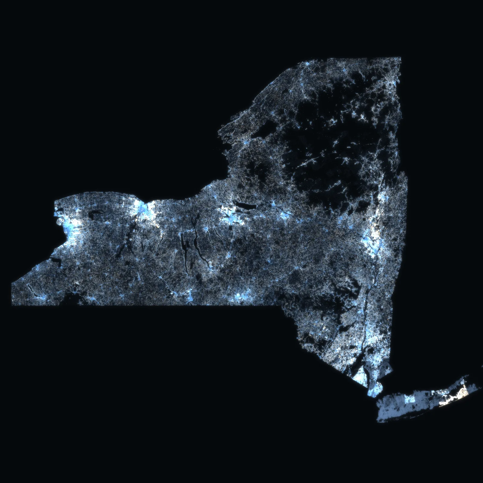
5,511,481 properties in New York State’s 62 counties – 4,653,197 parcels on the State’s 2025 roll in the 57 counties outside the city, and New York City’s 858,284 tax lots in depth – county by county and town by town.
Each town and city opens on its own map. The State’s 2025 assessment roll; New York City from VERA PI New York City. Sales follow when the State’s export is checked.
NYS GIS Program Office · the State’s 2025 assessment roll · New York City’s own registers. No owner names. Counted .
Town by town · New York State
Pick a county, then a town or a city. Its map opens.
Every town and city of the 57 counties as the roll names it – its parcels on the map, the year their buildings were built, its medians and its neighbours. Each has its own address to share. New York City’s five boroughs are read in depth in VERA PI New York City.
- Nassau CountyHempstead230,103 parcels · 188,852 one-family homesThe roll dates too few homes here
- Suffolk CountyBrookhaven185,499 parcels · 120,413 one-family homesThe roll dates too few homes here
- Nassau CountyOyster Bay102,019 parcels · 86,399 one-family homesThe roll dates too few homes here
- Suffolk CountyIslip98,690 parcels · 75,042 one-family homesThe roll dates too few homes here
- Erie CountyBuffalo93,440 parcels · 37,995 one-family homesHomes built 1920 at the median · 1,408 sq ft
- Suffolk CountyHuntington74,059 parcels · 59,671 one-family homesThe roll dates too few homes here
- Nassau CountyNorth Hempstead73,457 parcels · 58,512 one-family homesThe roll dates too few homes here
- Suffolk CountyBabylon68,243 parcels · 53,190 one-family homesThe roll dates too few homes here
- Monroe CountyRochester64,671 parcels · 41,175 one-family homesHomes built 1920 at the median · 1,395 sq ft
- Suffolk CountySouthampton52,728 parcels · 35,951 one-family homesHomes built 1998 at the median · 2,032 sq ft
- Erie CountyAmherst43,904 parcels · 34,884 one-family homesHomes built 1966 at the median · 1,868 sq ft
- Suffolk CountySmithtown42,823 parcels · 36,174 one-family homesHomes built 1966 at the median · 1,925 sq ft
- Onondaga CountySyracuse41,260 parcels · 24,295 one-family homesHomes built 1930 at the median · 1,416 sq ft
- Westchester CountyYonkers36,431 parcels · 17,549 one-family homesHomes built 1947 at the median · 1,638 sq ft
- Erie CountyCheektowaga35,413 parcels · 26,233 one-family homesHomes built 1957 at the median · 1,274 sq ft
- Erie CountyTonawanda35,223 parcels · 28,726 one-family homesHomes built 1952 at the median · 1,378 sq ft
- Monroe CountyGreece34,646 parcels · 31,736 one-family homesHomes built 1966 at the median · 1,580 sq ft
- Rockland CountyRamapo33,077 parcels · 17,877 one-family homesHomes built 1966 at the median · 2,210 sq ft
- Albany CountyColonie32,515 parcels · 25,940 one-family homesHomes built 1965 at the median · 1,672 sq ft
- Albany CountyAlbany29,409 parcels · 13,575 one-family homesHomes built 1940 at the median · 1,450 sq ft
- Westchester CountyGreenburgh28,491 parcels · 17,488 one-family homesThe roll dates too few homes here
- Rockland CountyClarkstown27,871 parcels · 23,401 one-family homesHomes built 1970 at the median · 1,980 sq ft
- Erie CountyHamburg25,904 parcels · 18,744 one-family homesHomes built 1965 at the median · 1,574 sq ft
- Suffolk CountyEast Hampton25,611 parcels · 18,660 one-family homesThe roll dates too few homes here
VERA PI · New York State
The tools, one state.
The same operating system as in France, New York City and Florida, with the State’s roll underneath: the parcel, its class and its land, the building on it, its services, its town and its county.
The method
The State’s own roll, joined on the parcel.
Every figure on these pages comes from the 2025 assessment roll the State publishes for its 57 counties outside New York City, with its version and date. A parcel is its SWIS code and its print key; its outline – in the 33 counties that share one with the State – its class, its land and its building are joined on them by VERA PI. New York City is read in depth – its lots, buildings, zoning and sales – in VERA PI New York City.
- NYS GIS Program Office – NYS Tax Parcels Public, the 2025 assessment rollevery parcel of the 57 counties outside New York City: its property class, its address, its land, its building’s year, area and rooms, its school district, water and sewer
- NYS GIS Program Office – the parcel outlines the counties share with the Statethe outline of each parcel in 33 counties, joined on SWIS_PRINT_KEY_ID by VERA PI
- NYS ITS GIS – the State’s latest orthoimagerythe aerial photograph under VERA PI Map
- VERA PI New York City – the city’s own registersthe five boroughs in depth: lots, buildings, units, zoning, flood layers and every recorded sale
No owner names, ever, and no assessment: an assessment is not a market value. Sales follow when the State’s export has been checked, as counts and as medians of ten or more with their period and radius. A town is the city or town the roll gives the parcel; a village is named where the roll names one. Where a county shares no outlines, its parcels are points.