VPI OS · London · 33 boroughs · live
Every sale in London.
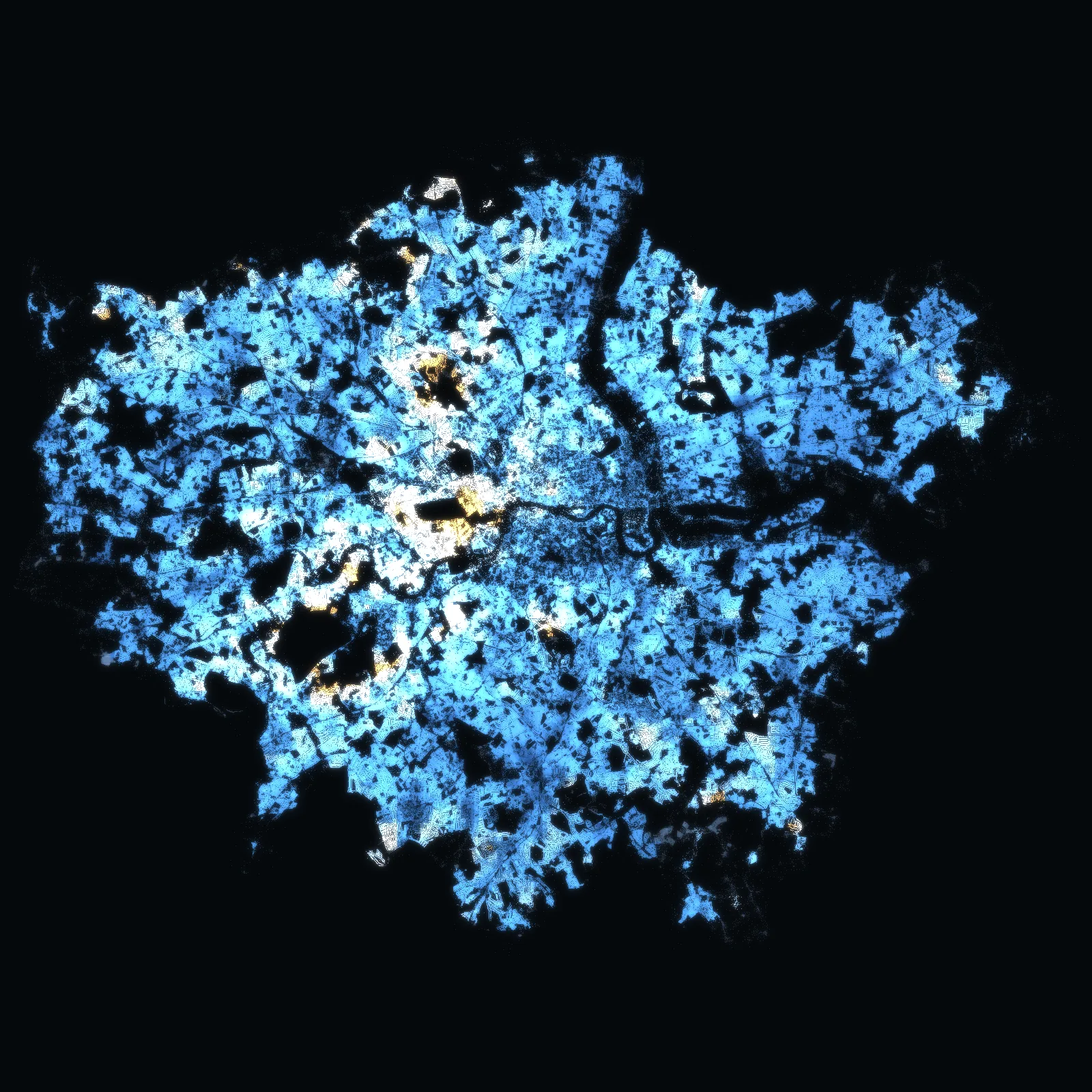
3,997,127 home sales in the 32 boroughs and the City since 1995 – 497,228 of them since October 2021, at 476,531 addresses – with every one of the 2,063,858 freehold plots on the map, borough by borough.
Each borough opens on its own map. Sales as HM Land Registry publishes them, January 1995 – August 2026, with the prices by year since 1995; the latest months fill in as sales are registered.
HM Land Registry · Ordnance Survey · the VERA PI databases. No owner names. Counted .
Borough by borough · London
Pick a borough. Its map opens.
Every one of the 32 boroughs and the City – its freehold plots on the map, the median price of the homes sold around them, flats and houses apart, and its neighbours. Each has its own address to share.
- London boroughWandsworth27,827 sales · 66,009 freehold plotsHomes £658k · flats £550k
- London boroughCroydon23,751 sales · 113,964 freehold plotsHomes £420k · flats £285k
- London boroughBromley22,973 sales · 123,237 freehold plotsHomes £512k · flats £330k
- London boroughBarnet21,617 sales · 99,449 freehold plotsHomes £575k · flats £410k
- London boroughLambeth20,011 sales · 51,439 freehold plotsHomes £550k · flats £477k
- London boroughEaling18,676 sales · 86,558 freehold plotsHomes £526k · flats £422k
- London boroughTower Hamlets17,678 sales · 23,194 freehold plotsHomes £509k · flats £485k
- London boroughHavering17,640 sales · 92,734 freehold plotsHomes £440k · flats £270k
- London boroughLewisham17,220 sales · 65,867 freehold plotsHomes £465k · flats £381k
- London boroughSouthwark16,664 sales · 40,468 freehold plotsHomes £550k · flats £475k
- London boroughGreenwich16,011 sales · 62,009 freehold plotsHomes £460k · flats £409k
- London boroughWestminster15,957 sales · 28,051 freehold plotsHomes £980k · flats £895k
- London boroughHillingdon15,837 sales · 93,603 freehold plotsHomes £490k · flats £315k
- London boroughWaltham Forest15,562 sales · 69,149 freehold plotsHomes £523k · flats £400k
- London boroughBexley15,482 sales · 86,284 freehold plotsHomes £423k · flats £269k
- London boroughEnfield15,358 sales · 91,362 freehold plotsHomes £470k · flats £325k
- London boroughRichmond upon Thames14,035 sales · 63,525 freehold plotsHomes £720k · flats £475k
- London boroughHaringey13,927 sales · 59,756 freehold plotsHomes £570k · flats £468k
- London boroughHammersmith and Fulham13,325 sales · 35,109 freehold plotsHomes £800k · flats £665k
- London boroughHackney13,305 sales · 34,336 freehold plotsHomes £600k · flats £540k
- London boroughSutton13,178 sales · 61,568 freehold plotsHomes £455k · flats £290k
- London boroughMerton13,042 sales · 63,716 freehold plotsHomes £542k · flats £400k
- London boroughRedbridge13,014 sales · 83,074 freehold plotsHomes £500k · flats £315k
- London boroughNewham12,955 sales · 63,005 freehold plotsHomes £449k · flats £425k
- London boroughHounslow12,810 sales · 71,525 freehold plotsHomes £480k · flats £375k
- London boroughBrent12,690 sales · 70,147 freehold plotsHomes £550k · flats £435k
- London boroughCamden12,176 sales · 30,636 freehold plotsHomes £795k · flats £700k
- London boroughIslington11,735 sales · 29,933 freehold plotsHomes £680k · flats £600k
- London boroughKingston upon Thames11,207 sales · 52,843 freehold plotsHomes £558k · flats £390k
- London boroughHarrow11,037 sales · 71,206 freehold plotsHomes £545k · flats £345k
- London boroughKensington and Chelsea10,598 sales · 25,762 freehold plotsHomes £1.25m · flats £1m
- London boroughBarking and Dagenham8,633 sales · 50,435 freehold plotsHomes £375k · flats £257k
- The City of LondonCity of London1,297 sales · 3,905 freehold plotsHomes £831k · flats £830k
VERA PI · London
Four tools, one city.
The same operating system as in France, New York, Florida and Massachusetts, with HM Land Registry underneath: the address, its freehold plot, what sold there and around it, its postcode and its borough.
Check a price · London
Where does the asking price sit?
Pick an address, the kind of home and the asking price. VERA PI places the price among the standard sales of homes like it within 500 m – the median, the middle half, the share at or below it and how many sales stand behind them.
The method
Every published sale, on its plot.
Every figure on these pages comes from the VERA PI databases: the sales HM Land Registry publishes, with their price, date, type, tenure and address; its own links between a sale, its UPRN and its freehold title; the outline of every registered freehold title; and Ordnance Survey’s address points and postcode centres – each with its version and date.
- HM Land Registry – Price Paid Dataevery published residential sale in Greater London: price, transfer date, type, tenure, new build, address and category – October 2021 to August 2026, the release of August 2026
- HM Land Registry – Price Paid Data, the complete fileevery sale in Greater London since 1 January 1995 – 3,499,899 before October 2021 – counted on each address and turned into the medians by year (category A, ten sales or more)
- Planning Data (MHCLG) with Historic Englandconservation areas, Article 4 directions, tree preservation zones, listed buildings and brownfield land, cut to the 33 and joined to the freehold plots
- HM Land Registry – transaction to UPRN and INSPIRE look-upsits own links between a sale, its addressable location and its freehold title – new registrations from August 2026, no backfill
- HM Land Registry – INSPIRE Index Polygonsthe indicative outline of every registered freehold title in the 32 boroughs and the City – 2,063,858 of them
- Ordnance Survey – OS Open UPRN and Code-Point Openthe address points and the postcode centres (Code-Point Open 2026.3.0, OS Open UPRN September 2026)
No owner names, ever, and no buyer or seller. Sales are shown as counts and as medians of ten or more, with their period and radius; a category B sale (repossessions, buy-to-let mortgages, sales to companies) and the type «other» are never in a median. A sale sits on the map at its officially linked UPRN point, or at its postcode’s centre – an area for many addresses, never the building; an address is placed on a plot only by HM Land Registry’s own link or its UPRN point inside the outline. The outlines are indicative and freehold only: a flat has none of its own. Floor areas are not connected, so there is no price per m². The latest months are incomplete: a sale reaches the data weeks or months after it completes.
Contains HM Land Registry data © Crown copyright and database right 2026, licensed under the Open Government Licence v3.0. This information is subject to Crown copyright and database rights 2026 and is reproduced with the permission of HM Land Registry; the polygons (including the associated geometry, namely x, y co-ordinates) are subject to Crown copyright and database rights 2026 Ordnance Survey 100026316 – the conditions. Contains OS data © Crown copyright and database right 2026. Contains Royal Mail data © Royal Mail copyright and database right 2026. Contains National Statistics data © Crown copyright and database right 2026. Planning layers: Planning Data (Ministry of Housing, Communities and Local Government), Open Government Licence v3.0; listed buildings © Historic England 2026. Map: © OpenStreetMap contributors, OpenFreeMap. Aerial photograph: Powered by Esri – Esri, Maxar, Earthstar Geographics, and the GIS User Community.