About the street
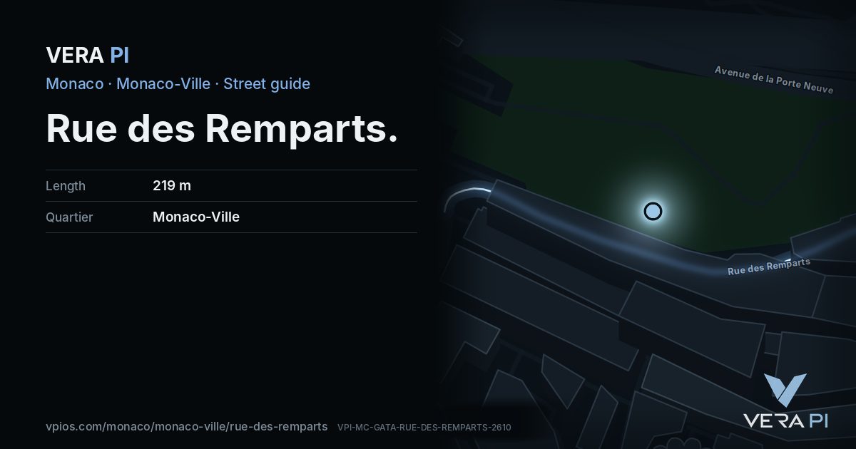
Rue des Remparts is a 219 m residential street in Monaco-Ville.
Walk the street
Every apartment building and landmark on Rue des Remparts, drawn at its height from OpenStreetMap. Walk it with the slider, switch sides, or tap a building for its card.
Skip the mapSwipe along the street
The buildings on Rue des RempartsPublic buildings and landmarksOther buildingsHeights from OpenStreetMap
Everything along the street
Notable buildings and places
 Chapel of Mercy, Monaco-VilleThe Chapel of Mercy (French: La Chapelle de la Miséricorde; Monégasque: Capela d’a Miserico̍rdia) is a Roman Catholic church on the Rue Basse in Monaco's Monaco…Berthold Werner · CC BY-SA 3.0
 chapelle Sainte-Dévote du Foyer-Sainte-DévoteAimelaime · CC BY-SA 4.0Princess Grace Irish LibraryThe Princess Grace Irish Library is a library situated in Monaco named after Princess Grace, the wife and consort of Prince Rainier III. Among its collections o…
 Place du PalaisMister No · CC BY 3.0
 Hommage des colonies étrangères au Prince Albert 1er à l'occasion de ses 25 années de règneBenoît Prieur · CC0MaliziaRainier IIIHistoric site
Getting around
- BusPrincesse Stephanieline 3, line 4, line 6, line N1
- BusPrincesse Stephanieline 1, line 2, line 6, line N2
- BusMonaco-Ville le Rocherline 1, line 2, line 5, line 22, line N2
- BusPlace D'Armesline 1, line 2, line 4, line 6, line N1, line N2, line X3
- Busle Rocherline X1
- BusPlace D'Armesline 1, line 2, line 22, line N2, line X1
Stops within 250 m of the street. Compagnie des Autobus de Monaco, timetable valid 5 October – 18 December 2026 (Licence Ouverte 2.0).
Schools nearby
- ·École de la CondamineSchool
- ·Croix rouge monégasque, crèche et garderie Rosine SanmoriNursery school
- ·Pavillon BosioSchool
- ·11School
- ·Lycée Technique et HôtelierSchool
Within 400 m; OpenStreetMap.
Streets that meet it
Place du Palais Rue Philibert Florence Ruelle de la Fonderie Rue Notre-Dame-de-Lorete Rue Basse
Sources
- Buildings, heights, streets and places: © OpenStreetMap contributors, ODbL 1.0.
- Sights: Wikidata (CC0) and Wikipedia (CC BY-SA 4.0); photographs from Wikimedia Commons under the licence shown on each.
- Buses: Compagnie des Autobus de Monaco GTFS, via transport.data.gouv.fr (Licence Ouverte 2.0).
- Sun: VERA PI’s model with the Copernicus GLO-30 terrain (© DLR e.V. 2010-2014 and © Airbus Defence and Space GmbH 2014-2018, provided under COPERNICUS by the European Union and ESA).
- OpenStreetMap
A VERA PI street guide – the same model as Strandvägen, Stockholm, fed with Monaco’s open data. Built 25 October 2026.