About the street
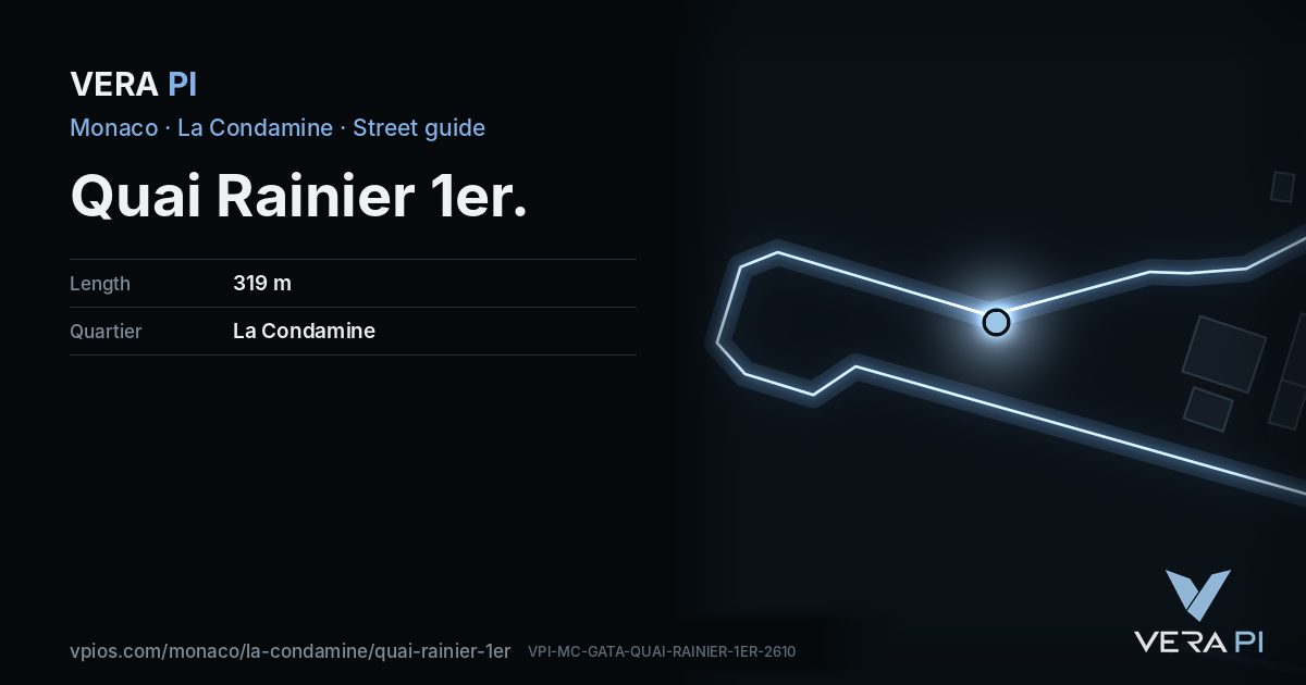
Quai Rainier-Ier lines the Fontvieille side of Port Hercule, with the Solarium beach and the terrace of Malizia Mar.
Walk the street
Every apartment building and landmark on Quai Rainier 1er, drawn at its height from OpenStreetMap. Walk it with the slider, switch sides, or tap a building for its card.
Skip the mapSwipe along the street
The buildings on Quai Rainier 1erPublic buildings and landmarksOther buildingsHeights from OpenStreetMap
Everything along the street
Notable buildings and places
 Port HerculesPort Hercules is the only deep-water port in Monaco. The port has been in use since ancient times. The modern port was completed in 1926, and underwent substan…Filip Maljkovic · Public domain
 Fort Antoine TheatreThe Fort Antoine Theatre is a small amphitheatre on the Avenue de la Quarantaine in the Monaco-Ville ward of Monaco, on the north-eastern point of the Rock of M…MSzybalski · CC BY-SA 3.0
Getting around
- BusQuai Antoine 1Erline BB
- BusInternational School Of Monacoline 1, line 6
- BusParking Pecheurline 1, line 2, line 4, line 6
Stops within 250 m of the street. Compagnie des Autobus de Monaco, timetable valid 5 October – 18 December 2026 (Licence Ouverte 2.0).
Schools nearby
- ·Pavillon BosioSchool
- ·11School
Within 400 m; OpenStreetMap.
Sources
- Buildings, heights, streets and places: © OpenStreetMap contributors, ODbL 1.0.
- Sights: Wikidata (CC0) and Wikipedia (CC BY-SA 4.0); photographs from Wikimedia Commons under the licence shown on each.
- Buses: Compagnie des Autobus de Monaco GTFS, via transport.data.gouv.fr (Licence Ouverte 2.0).
- Sun: VERA PI’s model with the Copernicus GLO-30 terrain (© DLR e.V. 2010-2014 and © Airbus Defence and Space GmbH 2014-2018, provided under COPERNICUS by the European Union and ESA).
- OpenStreetMap
A VERA PI street guide – the same model as Strandvägen, Stockholm, fed with Monaco’s open data. Built 25 October 2026.