
Monaco's heliport was founded in 1976 under Prince Rainier III on three hectares of Fontvieille, between the Rock and Cap-d'Ail, on a terrace over the sea beside the Princess Grace rose garden, the Stade Louis II and the Fontvieille port. Run by the Direction de l'Aviation civile, it links the principality with Nice-Côte d'Azur airport in about seven minutes' flight.
The building
Avenue des Ligures, Fontvieille, Monaco – facts from the open sources, each with its source.
Facts
- Address
- Avenue des Ligures
- Built
- 1976Metro Mode
- Footprint
- 689 m²OpenStreetMap
- Built as
- HeliportMetro Mode
- Commissioned by
- Prince Rainier IIIMetro Mode
- Quartier
- Fontvieille
Getting there
- Nearest bus stop
- Heliportline 4, line 6, line 22, line N1 · 3 min on foot
- Beach
- Plage du Solarium19 min on foot
- Port
- port de Cap d'Ail5 min on foot
- From the Casino
- 28 min on footestimate, with the stairs and lifts
- From the Palais
- 10 min on footestimate, with the stairs and lifts
On the map
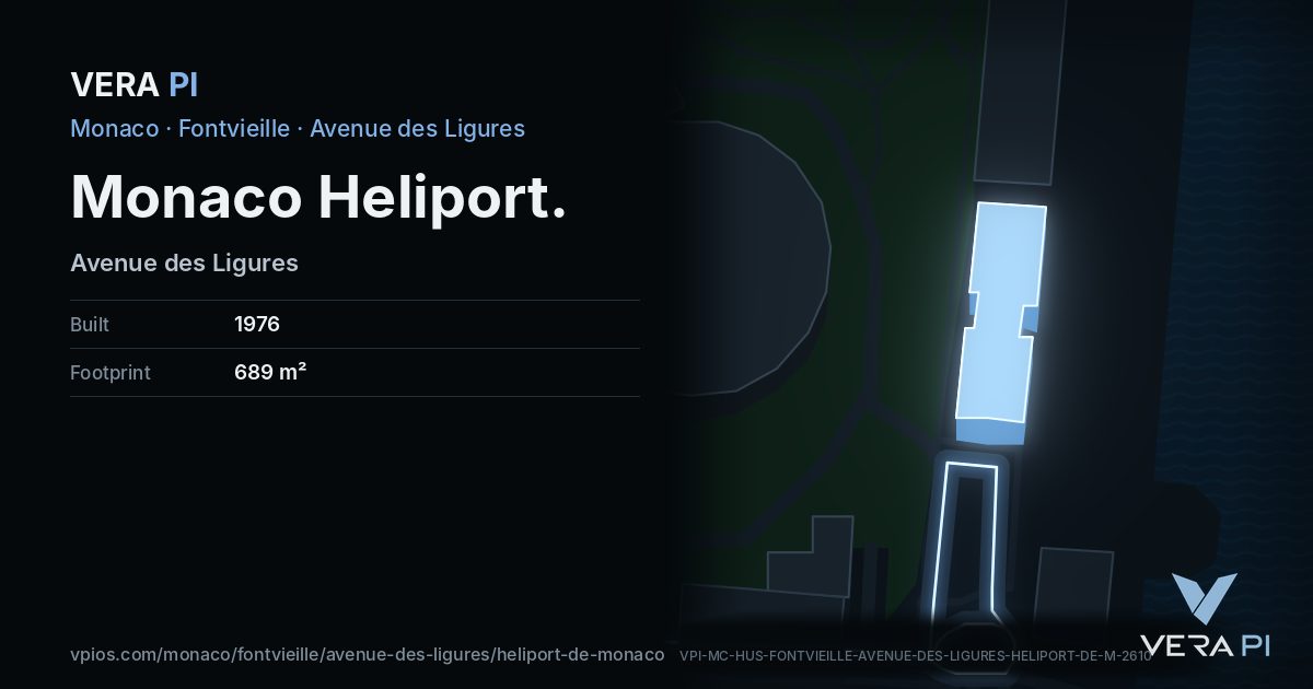
Monaco Heliport, its outline lit, on Avenue des Ligures.
Building outlines and heights © OpenStreetMap contributors (ODbL).
Nearby
Eat & drink
See
Share
Its own link and its own card – for a message, a story or a plan for the evening.
Sources
Building outline, height, floors, use and address: © OpenStreetMap contributors, ODbL 1.0.
Wikidata (CC0) and Wikipedia (CC BY-SA 4.0); the photograph from Wikimedia Commons under its own licence.
Buses: Compagnie des Autobus de Monaco GTFS (Licence Ouverte 2.0).
Wikipédia (fr) : Héliport de Monaco
Photo: giggel / Wikimedia Commons, CC BY 3.0