About Saint-Roman
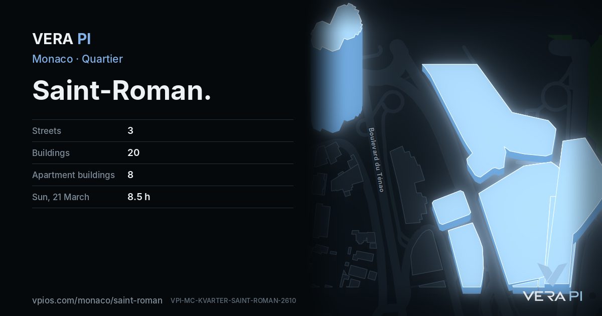
Saint-Roman is Monaco's eastern hillside, the slope that runs up from the Larvotto shore to the French border, and until 2013 it shared an administrative name with its neighbour: La Rousse–Saint Roman. It is a quarter of towers, because there is little flat ground and much view.
Its first landmark was Parc Saint Roman, finished in 1982 to designs by the Italian architect Luigi Caccia Dominioni, 108 metres and 35 floors. The newer generation stands below it on the Ténao and Boulevard d'Italie side: the Tour des Giroflées, about 65 metres, and Testimonio II, about 100 metres and 31 floors, with the International School of Monaco on the shore at the foot of the quarter.
Search Monaco
What to see in Saint-Roman
Saint-Roman on the map
Events in Saint-Roman
- 1897Monte-Carlo MastersEvery year in April, at the Monte-Carlo Country Club, just across the border in Roquebrune-Cap-Martin – since 1897
Recurring events, from Wikipedia and Wikidata. This year's dates are on the organisers' own sites.
Every street in Saint-Roman – 3 street guides
Getting around
Bus lines in Saint-Roman: 1, 4, N1 (Compagnie des Autobus de Monaco).
Share
Its own link and its own card – for a message, a story or a plan for the evening.
Sources
Quartier boundary, buildings, streets and places: © OpenStreetMap contributors, ODbL 1.0. Sights: Wikidata (CC0), Wikipedia (CC BY-SA 4.0), Wikimedia Commons. Buses: CAM GTFS (Licence Ouverte 2.0). Sun: VERA PI's model, Copernicus GLO-30 terrain. The text: VERA PI.
Wikipedia (en): La Rousse
Wikipedia (en): List of tallest buildings in Monaco
Wikipédia (fr) : Liste des gratte-ciel à Monaco
OpenStreetMap – Saint-Roman