The building
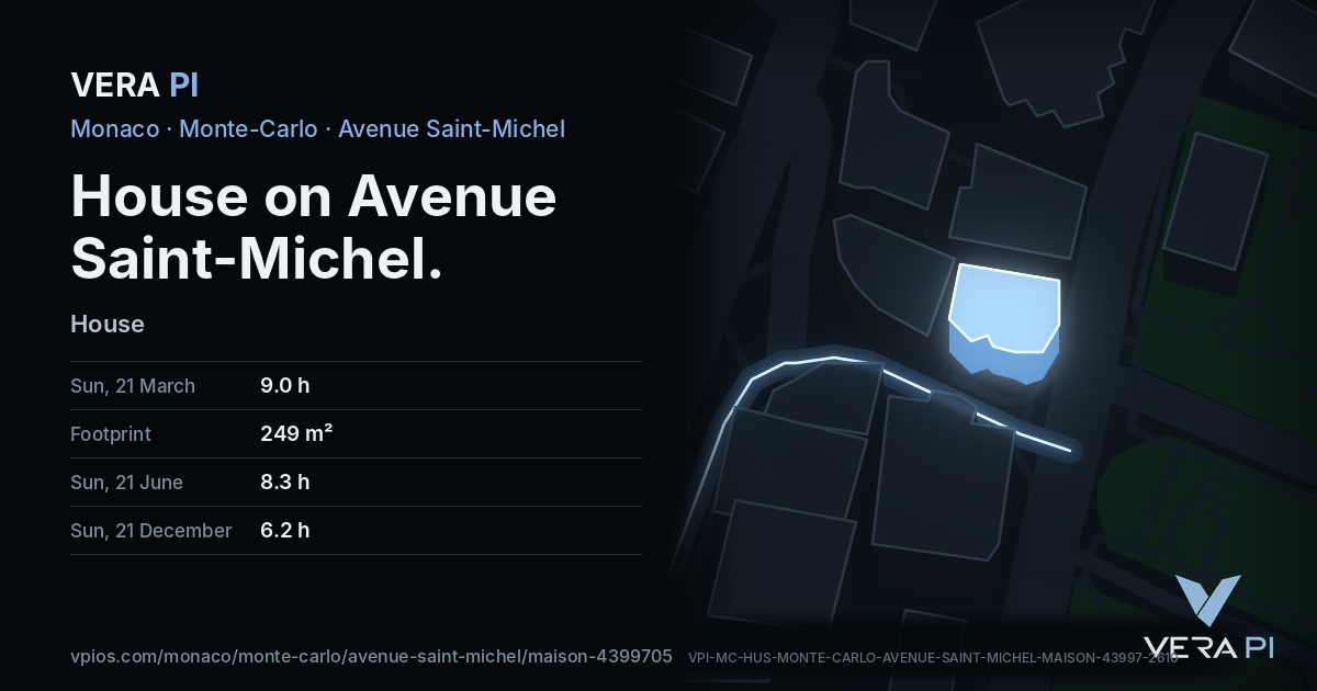
House on Avenue Saint-Michel, Monte-Carlo, Monaco – facts from the open sources, each with its source.
Facts
- Address
- House on Avenue Saint-Michel
- Use
- HouseOpenStreetMap
- Footprint
- 249 m²OpenStreetMap
- Quartier
- Monte-Carlo
The sun
Hours of direct sun on each façade at the middle floor, and floor by floor on the sunniest one (SE). The hills behind Monaco, the sea and every building around are counted.
Façade by façade
| Façade | 21 March | 21 June | 21 Sept. | 21 Dec. |
|---|---|---|---|---|
| SE 6 m | 8.0 | 7.7 | 8.2 | 6.2 |
| ESE 7 m | 6.8 | 6.6 | 6.8 | 5.5 |
| SSW 6 m | 6.0 | 7.5 | 6.0 | 5.2 |
| SW 5 m | 5.2 | 5.6 | 5.1 | 1.4 |
| NNE 18 m | 1.9 | 3.2 | 2.0 | 0.0 |
| WNW 11 m | 1.2 | 1.3 | 1.2 | 0.0 |
VERA PI’s sun model (NOAA); ground at 61 m from the Copernicus GLO-30 surface model. Clear sky; an estimate, not a measurement.
Getting there
- Nearest bus stop
- Monte-Carlo Tourismeline 1, line 2, line 4, line 5, line 6, line N2, line X2, line X3 · 1 min on foot
- Beach
- Plage du Solarium15 min on foot
- Port
- Port Hercule Contre-Jetée Light10 min on foot
- From the Casino
- 5 min on footestimate, with the stairs and lifts
- From the Palais
- 20 min on footestimate, with the stairs and lifts
Nearby
Eat & drink
See
Share
Its own link and its own card – for a message, a story or a plan for the evening.
Sources
Building outline, height, floors, use and address: © OpenStreetMap contributors, ODbL 1.0.
Sun: VERA PI’s model; terrain Copernicus GLO-30 (© DLR e.V. 2010-2014 and © Airbus Defence and Space GmbH 2014-2018, provided under COPERNICUS by the European Union and ESA).
Buses: Compagnie des Autobus de Monaco GTFS (Licence Ouverte 2.0).