About the street
Avenue Albert-II, named after the reigning prince, is Fontvieille's main avenue: the shopping centre with its supermarket and food counters, and the Terrasses de Fontvieille, where the stamps and coins museum and the naval museum stand side by side.
Walk the street
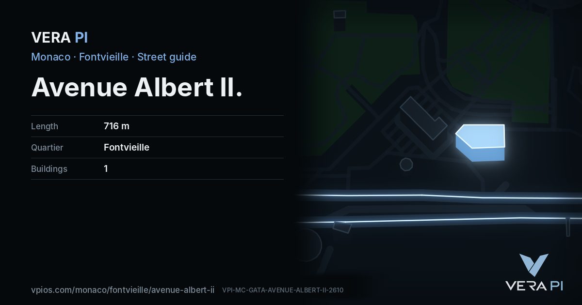
Every apartment building and landmark on Avenue Albert II, drawn at its height from OpenStreetMap. Walk it with the slider, switch sides, or tap a building for its card.
Skip the mapEverything along the street
Building by building
1 buildings with their own page on Avenue Albert II. Tap one to see it on the map.
Even numbers 1
Notable buildings and places
 Museum of Stamps and CoinsThe Museum of Stamps and Coins is located in the Fontvieille section of Monaco. It tells the postal history of the principality, and contains a display of Mone…Валерий Дед · CC BY 3.0
 Zoological Garden of MonacoThe Jardin Animalier de Monaco is a zoo located on the Esplanade Rainer III, in Monaco's Fontvieille ward, on the southern side of the Rock of Monaco. It was es…Steve Knight from Halstead, United Kingdom · CC BY 2.0Fontvieille Shopping CentreGrande carpeCadran solaire de FontvieilleEspace Léo FerréStatue de l'oursMarta accovacciata
Getting around
- BusPort de Fontvieilleline 3, line 6, line N1, line X3
- BusFontvieille C.Cialline 3, line 4, line 6, line N1, line X3
- BusAlbert Iiline 6, line 22, line N1, line X3
- BusDepot Fontvieilleline 2, line 3, line 4, line 5, line 6
- BusPlace D'Armes Serravalleline 3
- BusStade Louis Iiline 4, line 6, line 22, line N1
Stops within 250 m of the street. Compagnie des Autobus de Monaco, timetable valid 5 October – 18 December 2026 (Licence Ouverte 2.0).
Schools nearby
- ·École de la CondamineSchool
- ·Croix rouge monégasque, crèche et garderie Rosine SanmoriNursery school
- ·École du ParcSchool
- ·International University of MonacoUniversity
- ·École Maternelle Samuel PatySchool
- ·Les eucalyptusNursery school
- ·École de FontvieilleSchool
- ·Lycée Technique et HôtelierSchool
Within 400 m; OpenStreetMap.
Sources
- Buildings, heights, streets and places: © OpenStreetMap contributors, ODbL 1.0.
- Sights: Wikidata (CC0) and Wikipedia (CC BY-SA 4.0); photographs from Wikimedia Commons under the licence shown on each.
- Buses: Compagnie des Autobus de Monaco GTFS, via transport.data.gouv.fr (Licence Ouverte 2.0).
- Sun: VERA PI’s model with the Copernicus GLO-30 terrain (© DLR e.V. 2010-2014 and © Airbus Defence and Space GmbH 2014-2018, provided under COPERNICUS by the European Union and ESA).
- OpenStreetMap
- Wikidata: avenue Albert II (Q98925225)
- Mon Service Public (gouv.mc): Museums
A VERA PI street guide – the same model as Strandvägen, Stockholm, fed with Monaco’s open data. Built 25 October 2026.